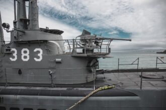
The omnipresent hum of technology has fundamentally reshaped warfare, and few innovations have had as profound an impact as the Global Positioning System (GPS) satellite constellation. From the fog of war to the precision of modern engagements, GPS has transformed military operations, offering unparalleled capabilities in navigation, timing, targeting, and battlefield awareness. Its integration into virtually every facet of military activity has not only enhanced efficiency and reduced casualties but has also redefined strategic planning and operational execution. This article explores the multifaceted ways in which GPS satellite technology underpins and enhances modern military operations.
The ability to know one’s precise location on Earth is a cornerstone of any effective military operation. Prior to the widespread adoption of GPS, navigation relied on celestial bodies, land-based markers, and rudimentary dead reckoning, all of which were susceptible to error, adverse weather conditions, and enemy interference. GPS, however, provides a globally accessible and highly accurate system for determining position, velocity, and time, revolutionizing the way forces move and operate.
Navigating Terrains and Oceans with Unprecedented Accuracy
The most direct application of GPS in military operations is as a navigation aid. Soldiers can pinpoint their exact coordinates on the battlefield, allowing for accurate movement across complex terrain, whether it be dense jungle, arid desert, or urban environments. This capability is crucial for infantry patrols, special forces reconnaissance, and the movement of large formations. Furthermore, naval operations benefit immensely from GPS for charting courses, avoiding hazards, and maintaining precise formations at sea. The ability to navigate with confidence, regardless of visual cues or weather, significantly reduces the risk of getting lost or deviating from mission objectives.
- ### Overland Movement and Maneuver
Infantry units can utilize handheld GPS devices or integrated systems in vehicles to follow pre-planned routes, return to base, or rendezvous with other units. The clarity of GPS-derived waypoints and tracks eliminates ambiguity and allows for more efficient and decisive ground maneuvers. This is particularly vital in large-scale operations where coordination between multiple units is paramount. The precision afforded by GPS also enables forces to maneuver around enemy positions or terrain obstacles without losing track of their overall operational picture.
- ### Maritime Domain Awareness and Navigation
For naval forces, GPS is indispensable for navigating vast oceans, avoiding submerged hazards like reefs and shipwrecks, and maintaining precise positioning for fleet operations. Carrier strike groups, amphibious assault forces, and submarines all rely on GPS for safe and effective transit. The system allows for accurate charting of routes, providing critical situational awareness for vessels operating in areas with limited or no traditional navigational aids. The synchronization of GPS timing also plays a role in the operation of sonar and other maritime sensing equipment.
- ### Airspace Management and Precision Approach
The advent of GPS has dramatically improved aerial navigation and landing procedures. Aircraft can maintain accurate flight paths, even in instrument meteorological conditions, and execute precision approaches to runways. This is particularly critical for combat aircraft operating in contested airspace or in support of ground forces, where rapid deployment and precise targeting are essential. The ability to land safely and efficiently at austere airfields or in challenging weather conditions enhances operational flexibility and survivability.
The military applications of GPS satellites have significantly transformed modern warfare, enhancing navigation, targeting, and reconnaissance capabilities. For a deeper understanding of how these technologies are implemented in military operations, you can explore a related article that discusses various aspects of GPS satellite applications in defense strategies. For more information, visit this article.
Enhancing Situational Awareness and Command & Control
Beyond mere navigation, GPS is a critical component in building and maintaining a comprehensive understanding of the operational environment. By providing accurate positional data for all friendly assets, GPS enables commanders to visualize the battlefield in real-time, fostering superior command and control (C2) capabilities.
Real-Time Tracking and Asset Management
GPS receivers integrated into vehicles, aircraft, and even individual soldiers provide a continuous stream of positional data. This data is fed into sophisticated battle management systems (BMS), creating a dynamic, geographically referenced map of friendly forces. Commanders can monitor the movement of their units, identify potential vulnerabilities, and redeploy assets as needed. This real-time awareness significantly improves the speed and effectiveness of decision-making.
- ### Blue Force Tracking
Perhaps one of the most significant contributions of GPS to military operations is the concept of “Blue Force Tracking.” This system allows friendly forces to see the locations of other friendly units on their displays, dramatically reducing the risk of fratricide – accidental engagement of friendly forces. This technology enables forces to operate in closer proximity with greater confidence, leading to more coordinated and synergistic attacks.
- ### Unit Coordination and Redeployment
With accurate GPS positioning, commanders can orchestrate complex movements and redeployments of units with a high degree of precision. Whether repositioning a flanking maneuver, reinforcing a defensive line, or extracting a besieged unit, the ability to know the exact location of all involved assets allows for seamless coordination. This reduces confusion, minimizes delays, and ensures that resources are deployed where they are most effective.
- ### Communication and Information Sharing
GPS data is often integrated with digital communication systems, allowing for the transmission of positional information alongside other tactical data. This shared situational awareness fosters a common operating picture (COP) among all echelons of command, ensuring that everyone is working from the same understanding of the battlefield. This streamlines communication and reduces the likelihood of misunderstandings.
Precision Fires and Targeting
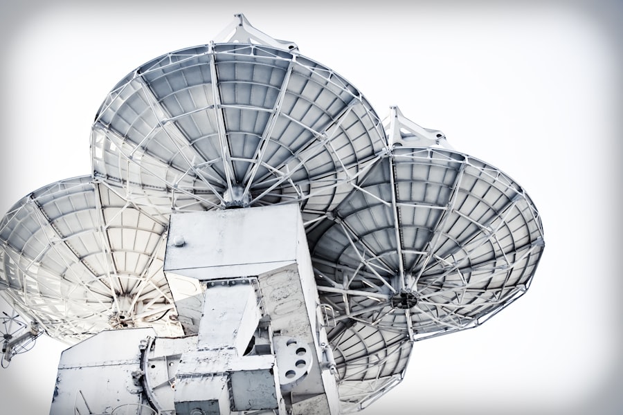
The ability to strike targets with pinpoint accuracy is a defining characteristic of modern warfare, and GPS is an indispensable enabler of this capability. By providing precise coordinates for both friendly weapons platforms and enemy targets, GPS allows for the delivery of ordnance with unprecedented accuracy, minimizing collateral damage and maximizing effectiveness.
Guided Munitions and Smart Weapons
Many modern munitions are “smart” weapons, equipped with GPS receivers and guidance systems. These weapons can be launched from a considerable distance and autonomously navigate to their designated target, even if the target moves slightly or the launch platform is no longer in the line of sight. This greatly enhances the standoff capability of forces and reduces the risk to personnel.
- ### GPS-Guided Bombs and Missiles
The widespread use of GPS-guided bombs and missiles has revolutionized air support and long-range strike capabilities. From precision-guided munitions (PGMs) like JDAMs (Joint Direct Attack Munitions) to cruise missiles, GPS guidance ensures that these weapons hit their intended targets with remarkable accuracy, even in challenging weather or during complex maneuvers.
- ### Artillery and Mortar Fire Correction
Even traditional indirect fire systems like artillery and mortars benefit from GPS. By accurately determining the position of the gun and the target, GPS allows for more precise fire missions. Spotters on the ground can relay GPS coordinates of targets, and the artillery battery can use its own GPS to calibrate its firing solutions, leading to faster and more accurate volleys.
- ### Laser Designation and Terminal Guidance
While not exclusively a GPS function, GPS often works in conjunction with laser designators. A ground or air asset can designate a target with a laser beam, and a GPS-guided munition can then home in on the reflected laser energy. GPS provides the initial targeting solution, and laser designation offers terminal guidance for even greater accuracy.
Advanced Timing and Synchronization

The Global Positioning System is not just about location; it is also a highly accurate source of precise time. This atomic clock-based timing is critical for a vast array of military operations, from coordinating complex multi-axis attacks to the operation of sophisticated sensor networks.
Synchronizing Operations and Systems
Many military systems and operations require extreme temporal synchronization to function effectively. GPS provides a common time standard that can be distributed to all participating units and platforms. This allows for the precise timing of actions, ensuring that complex maneuvers unfold as planned.
- ### Coordinated Attack Timings
In operations involving multiple units, such as a synchronized assault or a complex amphibious landing, precise timing is paramount. GPS ensures that all elements launch their attacks, advance at the same pace, and execute their objectives at the designated moment, maximizing shock and effectiveness.
- ### Electronic Warfare and Signals Intelligence
Sophisticated electronic warfare (EW) operations and signals intelligence (SIGINT) gathering rely heavily on precise timing. The ability to accurately measure time differences of arrival (TDOA) of signals at different sensor locations is crucial for locating and identifying enemy transmissions. GPS provides the necessary time reference for these operations.
- ### Communications Network Synchronization
Modern military communication networks, especially those involving satellite communications and encrypted transmissions, require precise synchronization. GPS-generated timing signals ensure that data packets are transmitted and received at the correct intervals, maintaining the integrity and efficiency of the communication infrastructure.
The advancements in GPS satellite technology have significantly transformed military operations, enhancing navigation, targeting, and reconnaissance capabilities. For a deeper understanding of how these systems are utilized in modern warfare, you can explore a related article that discusses the strategic implications of GPS in military applications. This resource provides valuable insights into the integration of satellite technology in defense strategies, making it a worthwhile read for anyone interested in the intersection of technology and military tactics. To learn more, visit this article.
Beyond the Battlefield: Support and Logistics
| Application | Details |
|---|---|
| Positioning | Accurate determination of location for military operations |
| Navigation | Assisting military vehicles, aircraft, and ships in reaching their destinations |
| Timing | Providing precise timing for synchronization of military operations |
| Targeting | Assisting in precision targeting for military weapons |
| Surveillance | Monitoring and tracking of enemy movements and activities |
The influence of GPS extends far beyond direct combat operations. It plays a vital role in supporting logistics, reconnaissance, search and rescue, and even the training of military personnel.
Optimizing Logistics and Supply Chains
The efficient movement of supplies and equipment is crucial for sustaining military operations. GPS enables the tracking of supply convoys, the optimization of delivery routes, and the real-time monitoring of inventory. This ensures that forces have the resources they need, when and where they need them, minimizing waste and maximizing operational readiness.
- ### Convoy Tracking and Route Optimization
GPS allows for the real-time tracking of supply convoys, providing awareness of their location and progress. This information can be used to reroute convoys around ambushes or delays, ensure timely deliveries, and enhance the security of logistics operations. AI-driven systems can further optimize routes based on real-time traffic, weather, and threat assessments.
- ### Battlefield Re-supply Coordination
When time is of the essence, GPS facilitates seamless coordination for battlefield re-supply. Ground units can transmit their precise location, allowing for the rapid and accurate delivery of ammunition, medical supplies, or other critical resources by air or ground.
Reconnaissance, Surveillance, and Intelligence Gathering
GPS is fundamental to many reconnaissance and surveillance platforms, from unmanned aerial vehicles (UAVs) to satellite imagery. Accurate positional data allows for precise mapping of terrain, identification of enemy installations, and the collection of intelligence.
- ### Unmanned Aerial Vehicle (UAV) Operations
UAVs, increasingly vital for ISR (Intelligence, Surveillance, and Reconnaissance), rely heavily on GPS for navigation, waypoint following, and precision landing. This allows them to conduct persistent surveillance of vast areas, collect high-resolution imagery, and even deliver precision strikes, all while keeping friendly forces at a safe distance.
- ### Terrain Analysis and Mapping
GPS data is used to create highly detailed and accurate terrain maps, essential for mission planning. This includes mapping elevation, identifying potential cover and concealment, and understanding the best routes for movement. This enhances operational planning, especially in unfamiliar or challenging environments.
- ### Search and Rescue (SAR) Operations
In humanitarian assistance and disaster relief (HADR) or casualty evacuation (CASEVAC) missions, GPS is critical for locating downed aircraft, stranded personnel, or areas requiring immediate assistance. Its ability to provide precise coordinates facilitates rapid deployment of rescue teams.
Training and Simulation
Even in training environments, GPS technology plays a significant role. GPS simulators can replicate battlefield conditions, allowing personnel to practice navigation, tactics, and coordination in a realistic yet safe environment. This ensures that forces are well-prepared for the demands of actual operations.
In conclusion, the Global Positioning System is no longer a mere convenience; it is an indispensable pillar of modern military operations. Its ability to provide precise navigation, enhance situational awareness, enable precision fires, synchronize complex operations, and support vital logistical functions has fundamentally transformed the way militaries engage and operate. As technology continues to advance, the integration of GPS with other cutting-edge systems, such as artificial intelligence and advanced sensing, promises even greater capabilities and a continued evolution of warfare. The silent, constant signal from space has become an invisible, yet profoundly powerful, force multiplier on the global stage.

The Hidden Weakness Behind Modern Warfare
FAQs
What is GPS and how does it work?
GPS, or Global Positioning System, is a network of satellites that orbit the Earth and provide location and time information to GPS receivers. The system works by using trilateration to determine the receiver’s location based on the time it takes for signals to travel from the satellites to the receiver.
How is GPS used in military applications?
GPS is widely used in military applications for navigation, targeting, and timing. It allows military personnel to accurately determine their location, navigate in unfamiliar terrain, and guide weapons to their targets with precision. GPS also provides accurate timing for synchronization of military operations.
How many satellites are in the GPS system and how are they controlled?
The GPS system consists of a constellation of 24 satellites, with additional satellites in reserve. These satellites are controlled by the United States Air Force, which monitors and maintains their orbits and operational status from a control center.
What are the advantages of using GPS in military operations?
The use of GPS in military operations provides several advantages, including improved situational awareness, enhanced precision in targeting, and increased operational efficiency. It also allows for better coordination between military units and reduces the risk of friendly fire incidents.
Are there any limitations or vulnerabilities of using GPS in military applications?
While GPS is a valuable tool for military applications, it is not without limitations and vulnerabilities. The system can be affected by signal interference, jamming, or spoofing, which can degrade its accuracy and reliability. To mitigate these risks, the military may use alternative navigation systems or employ techniques to counter GPS disruptions.